In which we channel our inner Douglas Bader and take to the skies…
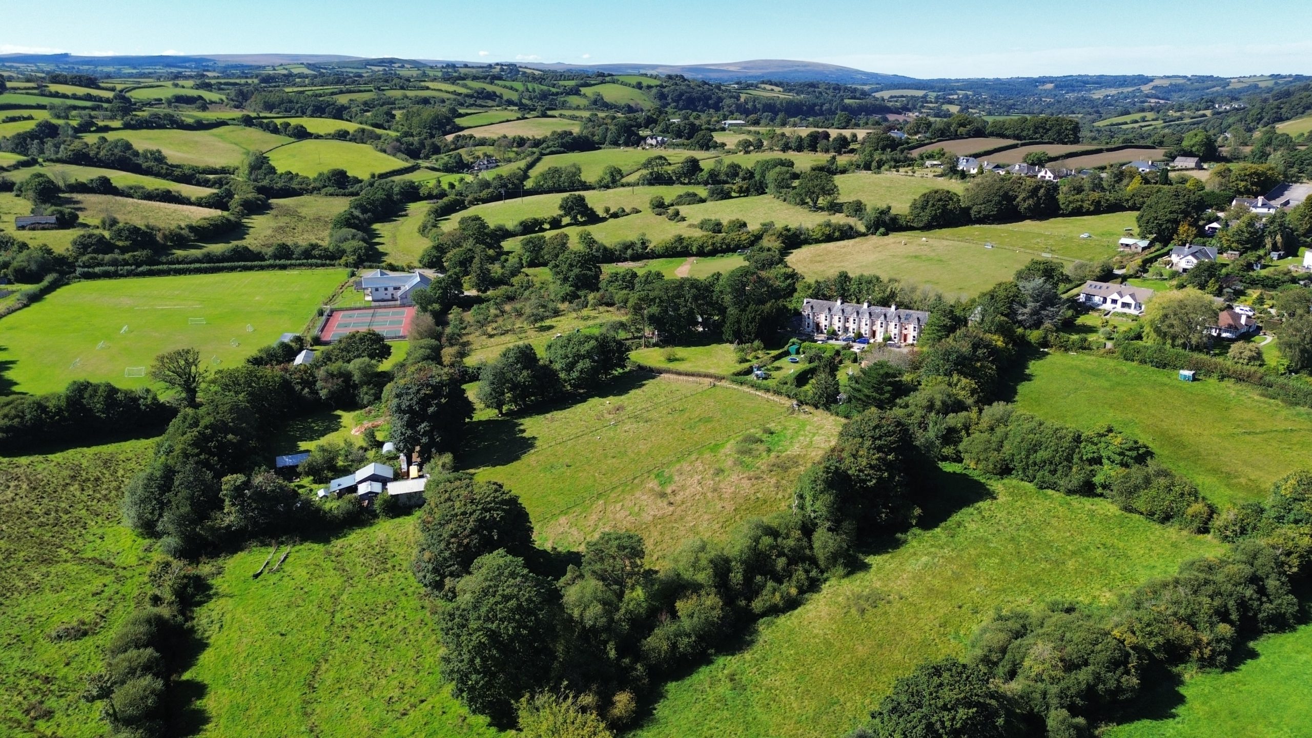
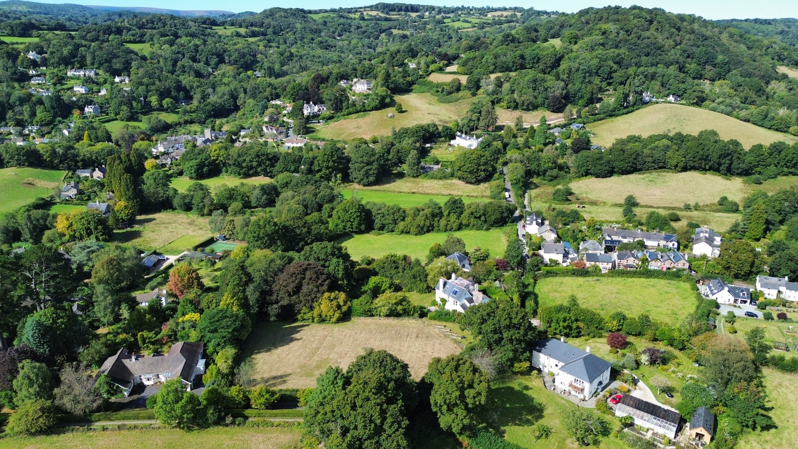
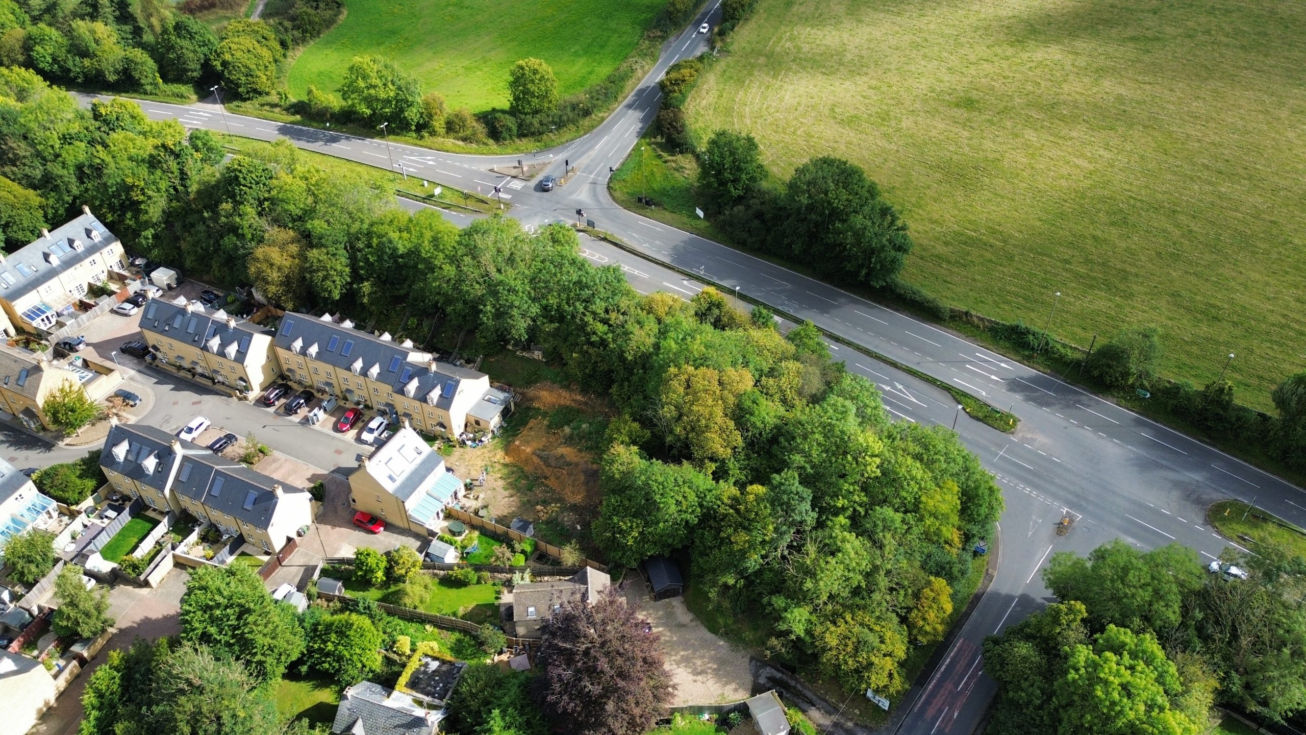
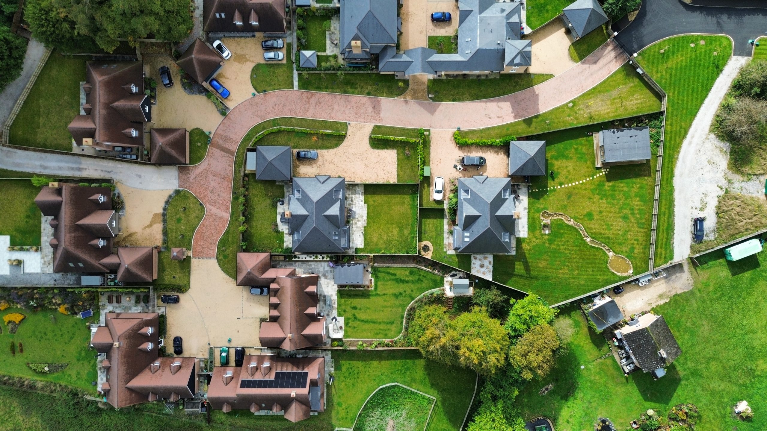
We now have drone capabilities. This is significant – we can better demonstrate spatial considerations to Local Authorities – for example, showing how proposed development fits or will sit in context with existing development and how it will therefore have a lesser impact upon the countryside. Similarly we can also now integrat CGI imagery into our Planning Statements, allowing us to better ‘tell the story’ of the development we are trying to achieve with the Local Authority.
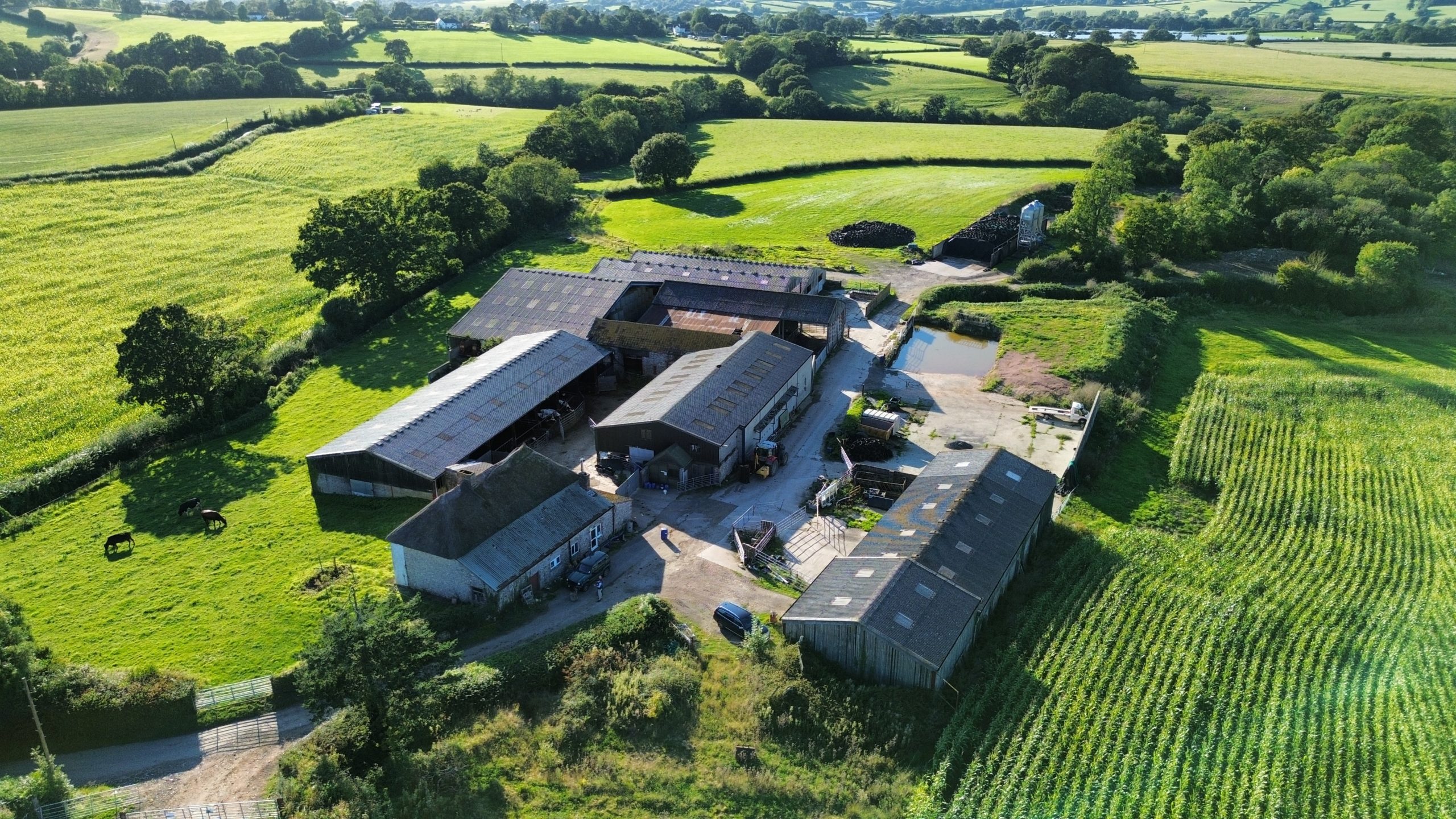
In addition to this, we can also now undertake condition reports and aerial surveys, which is particularly useful in justifying works to heritage assets to Conservation Officers.
Also, flying a drone is actually quite good fun… takka takka takka takka takka…